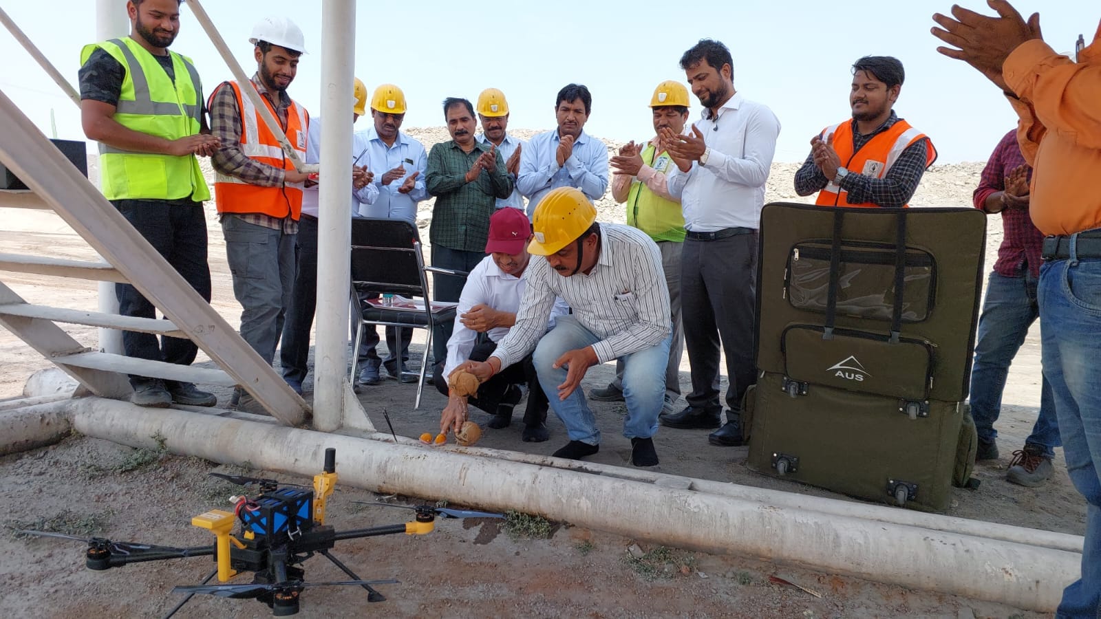
Coal India to Digitize 7 Major Coal Mines with Aereo’s Drone Solutions Platform
Prior to this landmark project, Aereo was also given a result validation contract from Central Mine Planning and Design Institute (CMPDI), a subsidiary of CIL. Aereo validated the accuracy of photogrammetry data across 50 mining sites and computed results. Based on the favorable outcome of these results and other subsequent efforts made by the CMPDI, an amendment has been made to the Yellow Book of Coal India. According to this amendment, drone-based photogrammetry for volumetric assessment is mandatory on a regular basis. The amendment also lists several SOPs that include the use of PPK drones and DGPS base stations.
On winning the contract, Vipul Singh, Founder, and CEO, Aereo said, “Aereo is proud and delighted to work with CIL and Accenture on India’s largest mine mapping project to date. This contract marks a significant milestone for Aereo and CIL in terms of technological scalability. It will help shape India’s journey to becoming energy-self sufficient. The advanced analytics delivered in this project will enable large-scale digitization of some of the most important mines of this country. That will pave the way for more efficient, safer, and environmentally conscious mining operations. Using our end-to-end drone solutions stack, we have successfully delivered critical business intelligence to over 500 mines in the past. Aereo has always worked towards creating impactful drone-based solutions. This collaboration is a leap toward the rapid adoption of commercial drone technology in India.”

